

Updates on Mt Agung Volcano in East Bali
(Updated at 09:00 — 3 July 2018)
This page will keep you up to date with all the latest news regarding Mt Agung Volcano and the impact that its eruption has on travellers and operations on the ground.
[one_half]
Operational Updates
- Bali Denpasar airport (DPS) is open and operating normally. Banyuwangi and Jember Airport in East Java is closed.
- EXO Travel is operating as usual except for Besakih Temple visits on Mt. Agung and we are in touch with all clients in Bali.
- We continue to monitor the situation and will keep you informed of new developments.
- We have customer service staff deployed at Ngurah Rai International Airport to assist departing guests affected by changes to their flight schedules.
- We expect some flight disruptions over the coming days and will keep all partner agents informed directly about each and every file on the ground, as well as those who are soon to arrive.
- In case of delays of flight departures, clients can sit back and relax at their hotel for the moment or contact us at our customer care – +62 (0) 361 288 821 if they want to be more active.
[/one_half]
[one_half_last]
Volcano Status
- Current Aviation Colour Code: ORANGE
- Mt Agung is calm today after an eruption last night at 21:28 local time. Eruption and ash emission is not continuing
- The exclusion zone remains at 4km radius from the crater.
[/one_half_last]
Bali’s Update 2018
Watch this informative video created by the Bali Tourism Board Hospitality Center that explains that travel to Bali is safe!
Timeline of Updates from EXO:
29 June – DPS airport has re-opened at 14:30 local time. Mt. Agung’s alert level remains at 3 and the exclusion zone remains at 4km from the crater.
13 February — Mt Agung’s alert level has been lowered to 3. The exclusion zone has been decreased to 4km from the crater.
30 January — Mt Agung’s eruption has been overhyped by the media. In the worst-case scenario only 2% of the island’s land mass would be affected if a major eruption occurs. The 2% of land mass that will be affected are some 70km from South Bali’s major tourism enclaves.
14 December — All operations have returned to normal and tours are ongoing. Mt. Agung has stopped erupting and the alert levels and exclusion zone have been removed.
29 November — Bali Denpasar airport (DPS) has re-opened and airline check-in has started. However, staying open is situational to ash-fall. Mt Agung continues to erupt and the alert level remains at 4 and the exclusion zone 10-12.5km from the crater.
28 November — Exclusion zone surrounding Mt Agung remains 10-12.5km surrounding the crater. Denpasar’s Ngurah International Airport (DPS) remains closed. Reports of ash fall in some parts of East Bali, though the tourist regions of west and east Bali remained unaffected.
27 November — Exclusion zone surrounding Mt Agung expanded to 10-12.5km surrounding the crater. Denpasar’s Ngurah International Airport (DPS) remained closed. Reports of ash fall in some parts of East Bali, though the tourist regions of west and east Bali remained unaffected.
26 November — Mt Agung erupted at 05:05 local time and continues to erupt with dark ash clouds rising to a height of 4,000 metres. Ash is moving eastwards to Lombok island. The aviation code has changed from “orange” to “red” and all flights in and out of Bali is cancelled with both DPS airport and LOP airport closed.
21 November — A minor eruption took place at 17:05. but the alert level remains at 3 and the exclusion zone 6 – 7.5km around the crater. DPS airport remains open and all tourist areas unaffected.
31 October — The alert level is lowered from 4 to 3. The former exclusion zone of 12.5 km has been reduced to between 6 and 7.5 km to reflect the calming of volcanic activity.
29 September — The alert level remains at 4. Bali’s Ngurah Rai Airport remains open, and contingency plans have been set up by authorities in case the airport closes down due to ash emissions from Agung. Transfers to Lombok or Surabaya airport can be arranged by land or ferry.
23 September — Mt Agung had its alert level raised from 3 to 4. An exclusion zone enforced from 9-12km.
 " alt="">
  " alt="">
  " alt="">
  " alt="">
  " alt="">
 " alt="">


 " alt="">
 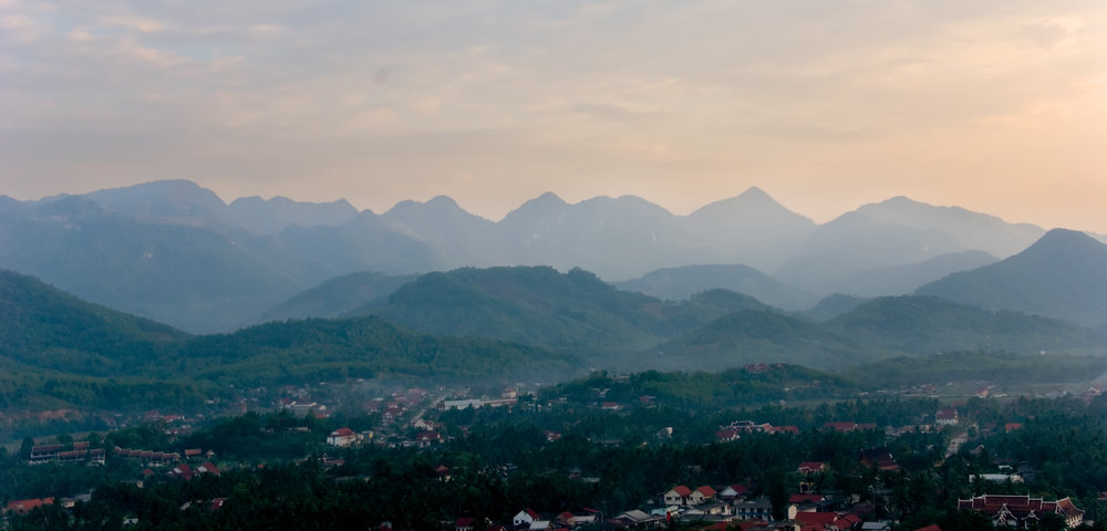 " alt="">
  " alt="">
  " alt="">
  " alt="">
  " alt="">
  " alt="">
  " alt="">